Mobile LiDAR Scanning
RAPID DATA COLLECTION WITH PINPOINT ACCURACY
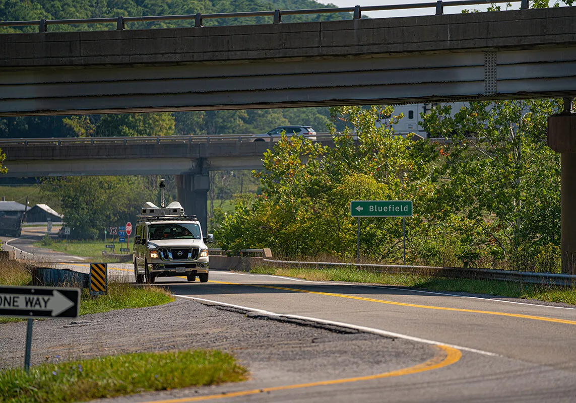
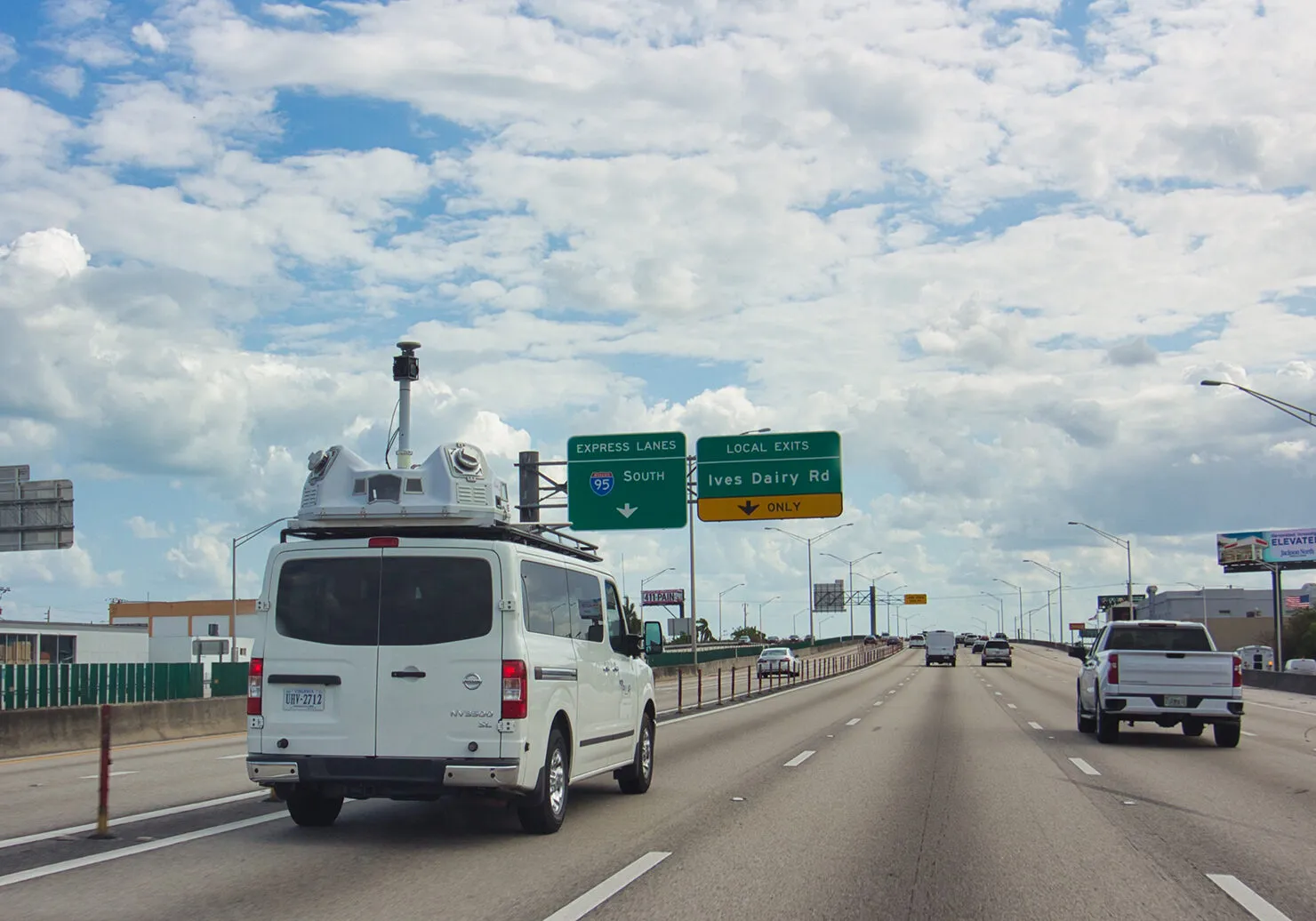
Mobile LiDAR is a powerful data collection method that uses laser scanning to identify roadway assets and related infrastructure with unparalleled efficiency and excellent accuracy.
Why Mobile LiDAR?
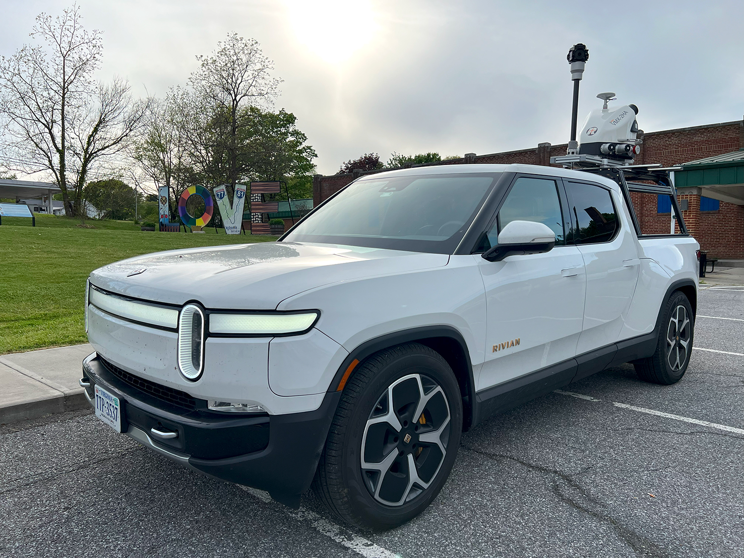
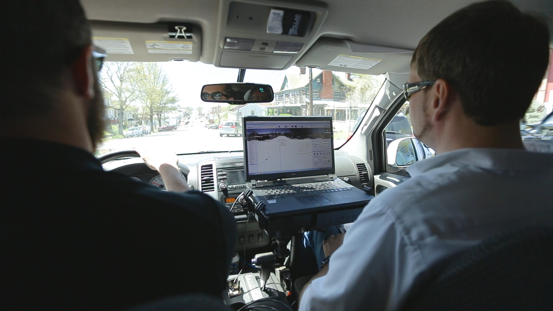
The question really is, why not Mobile LiDAR? PILLAR offers laser scanning and mapping technology that identifies—down to the millimeter—over 24 asset types. Our modern Leica Pegasus scanning units come equipped with 360 cameras and are supplemented by GNSS and IMU technology so you receive point cloud, images, and geospatial data.
Reap the benefits of Mobile LiDAR including:
- High Accuracy and Resolution: Mobile LiDAR systems provide high-resolution data with excellent accuracy. This allows for detailed modeling of road surfaces, bridge clearances, and roadside barriers, which is crucial for precise planning and maintenance.
- Rapid Data Collection: Mobile LiDAR is capable of collecting extensive amounts of data quickly as it operates from moving vehicles. This speed dramatically reduces the time required to survey large areas compared to traditional survey methods.
- Comprehensive Coverage: Since mobile LiDAR systems scan environments in 360 degrees as they move, they can gather comprehensive data on all visible surfaces, including hard-to-reach areas that might be missed by other methods.
- Minimal Disruption: Data collection via mobile LiDAR causes minimal disruption to traffic since the equipment is mounted on moving vehicles. This is in contrast to stationary surveying methods that might require road closures or traffic diversions.
- Cost Efficiency for Large Areas: For large-scale projects, mobile LiDAR can be more cost-effective than other methods thanks to the ability to quickly cover large distances resulting in lower overall costs for big projects.
- Multi-Functional Data: The data collected from mobile LiDAR can be used for multiple purposes beyond just asset management, such as topography, hydrology studies, and urban planning. This multifunctionality makes it a versatile tool in geographic data collection.
- Enhanced Safety: Mobile LiDAR enhances safety by reducing the need for personnel to be physically present on busy roads or in hazardous areas. This technology also helps in the detailed assessment of the infrastructure to plan safety improvements more effectively.
- Integration with Other Data: LiDAR data can be easily integrated with other geographic information system (GIS) data, improving the overall quality and usefulness of the information systems used in transportation management.
Get Mobile LiDAR and Revolutionize Your Data Collection
We’re trusted partners of DOTs all over the country for a reason. PILLAR offers cutting edge technology and deep human experience—helping transportation asset managers save time, money, and stress. Contact us to learn how Mobile LiDAR can transform your data collection and asset management program.
Related Projects

Inventory Mapping and Assessment
Overwhelming Inventory Needs Threaten Timely Asset Management in Bristol, VA

LiDAR – Chesapeake Bay TMLD Interstate Scanning
Unquantified Pollinator Programs Could Leave Millions on the Table for DOTs

Inventory Mapping & Assessment
Overwhelming Inventory Needs Threaten Timely Asset Management in Salem, VA

Minimally Invasive Data Collection
Avoid Invasive Data Collection and Protect Wildlife with Mobile LiDAR
Let’s Talk
Complete the form below to start a conversation with PILLAR.