Don't Let Slope Collapse Catch You (or Drivers) Unaware
Static LiDAR Scan

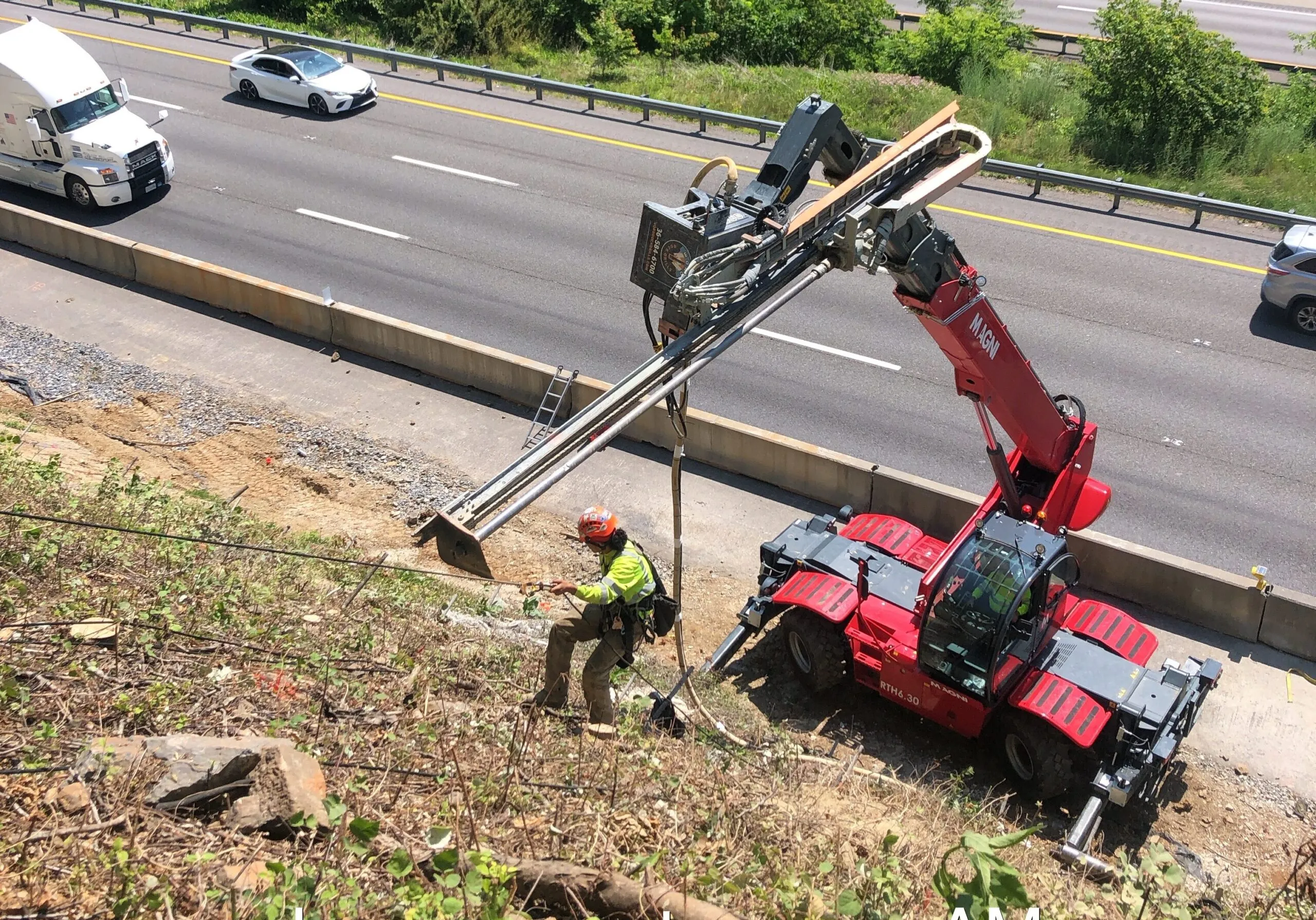
Problem
VDOT is responsible for monitoring slope movement along interstates in order to prevent slope collapse and eventual interstate shutdown
Solution
PILLAR utilized static LiDAR to map, measure and monitor slope movement at various areas that were exhibiting sloughing and sliding. The data enabled VDOT to determine the extent of the repair area and develop a slope stabilization solution.
Approach
A static LiDAR scanning unit was used to obtain a 3D Map of the identified slope failure areas. The PILLAR team captured geo-referenced, time-stamped point clouds and imagery in order to map desired areas. To ensure accuracy, the LiDAR unit was vertically controlled through survey control points along the routes to produce no more than 0.2’ elevation (vertical) and horizontal discrepancy.
The geo-referenced LiDAR and digital imaging data was post-processed using Spatial Factory computer software. This produced a viewable 3D image representation which was exported to usable, industry standard formats and delivered to VDOT.
Let's Talk
Complete the form below to start a conversation with PILLAR.