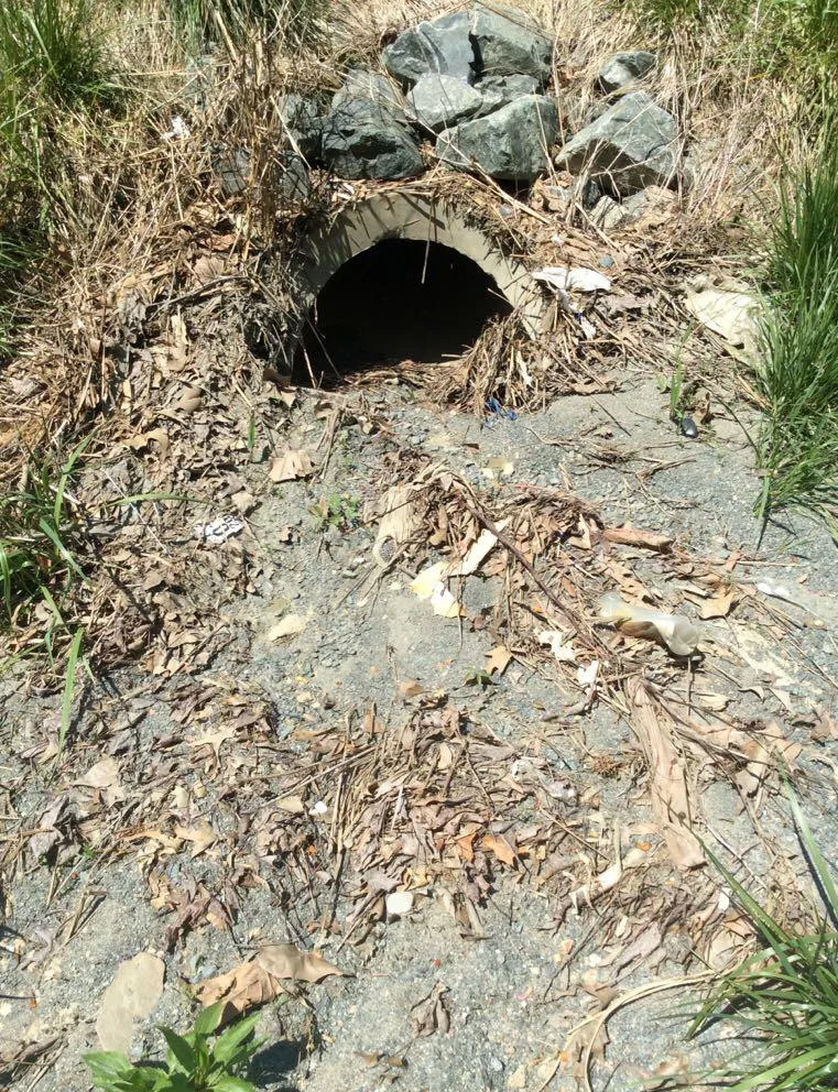
Missing Data Leaves Streets Flooded
Pipe Inventory and Condition Assessment

Problem
After significant rain events along 48 centerline miles of the I-95 corridor in the Richmond VDOT District, roadways experienced poor drainage and standing water. The Richmond District needed to conduct routine maintenance to alleviate the issues, but they lacked drainage asset information to make a prioritized work plan.
Solution
VDOT Richmond District hired PILLAR to locate and assess the condition of their drainage network and to use the collected data to develop a prioritized work plan.
Approach
PILLAR crews inventoried and condition assessed drainage structures along 48 centerline miles of I-95 corridor through Richmond. Since there were no plans identifying where drainage structures were, 2-man field crews walked the entire length of the median and shoulders in both directions to locate and examine each structure, pipes and inlets included. Any necessary traffic control was provided by VDOT.
The crew collected location and condition attributes for drop inlets and associated drainage item assets. As part of their data collection, they took pictures, recorded GPS location and mile marker reference and compiled it into ArcGIS or similar database program alongside a condition assessment rating to determine workload, budgeting, and contract development. Several structures were buried or completely filled with soil and debris. Buried structures were uncovered and exposed for work crews to clean out. Crews discovered several safety issues such as missing grates or separated and falling outlet pipes and flagged them for mitigation.
PILLAR delivered to VDOT a shape file and database file that could be viewed using ArcGIS or ArcGIS Viewer, as well as customized reports for particular assets.
Let's Talk
Complete the form below to start a conversation with PILLAR.
