Avoid Mowing Cost Increases with Accurate Data
Mowing Area Calculation Verification

Problem
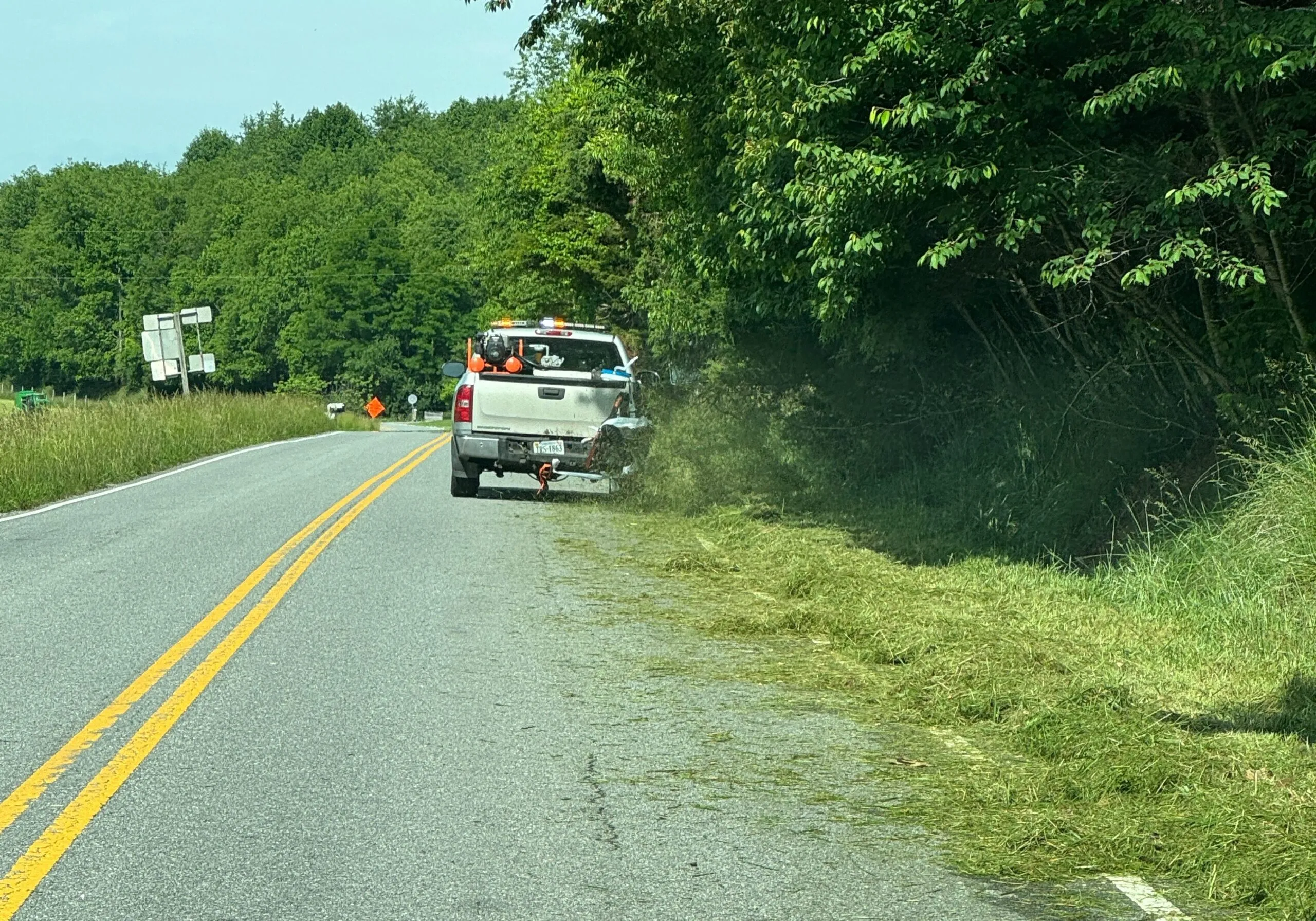
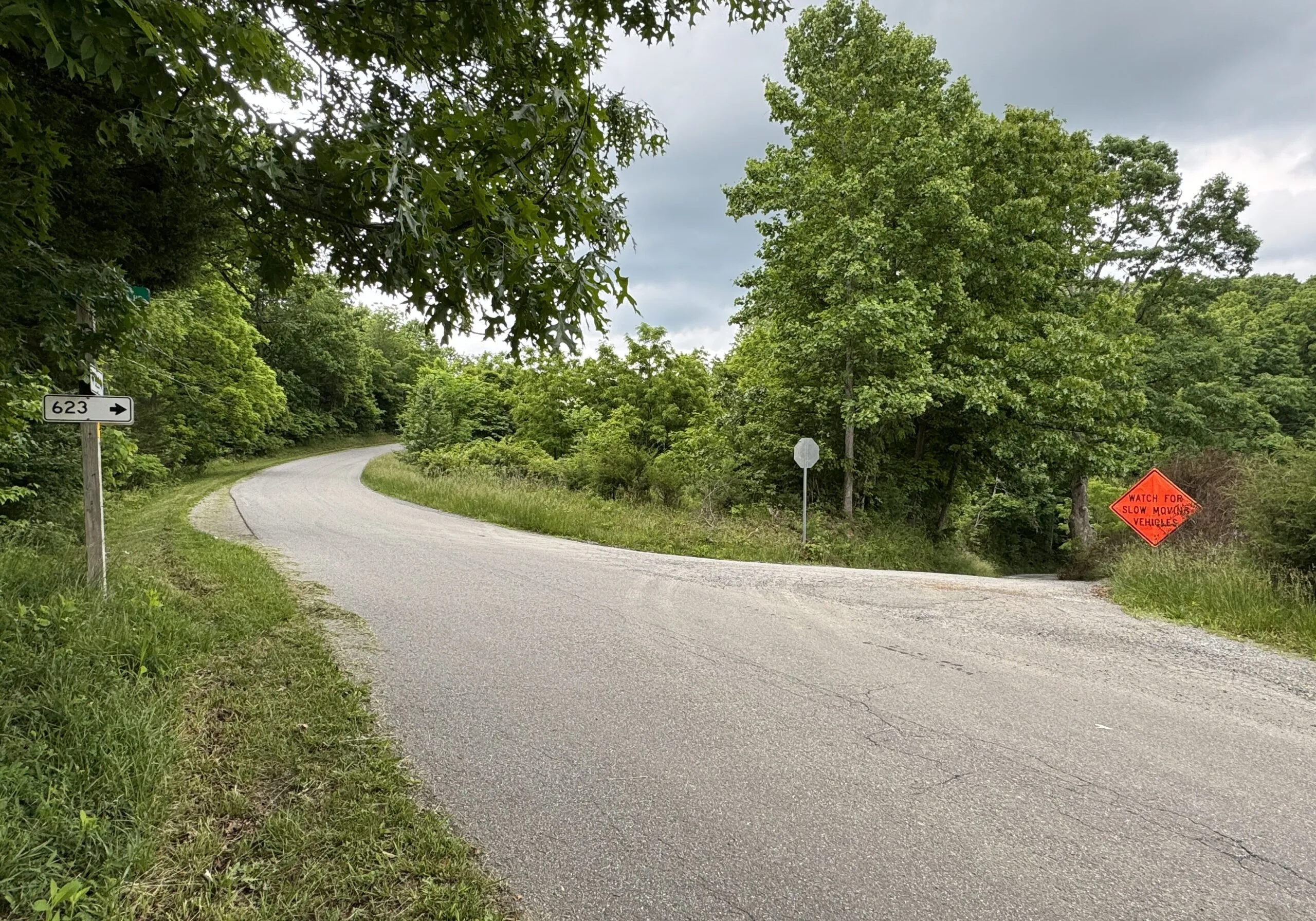
VDOT Bristol District didn’t have accurate quantities for their mowing contracts along 477 centerline miles of roadway making it difficult to submit on time and increasing the likelihood that they would overpay for mowing.
Solution
PILLAR enabled Bristol District to get mowing contracts out the door by collecting point cloud data and spherical imagery to obtain XX acres of tractor mowing and XX acres of hand mowing. We went above and beyond, completing the project earlier than projected and under budget.
Approach
A mobile LiDAR scanning unit was utilized to obtain a 3D Map of the desired corridors. This entailed capturing geo-referenced, time-stamped point clouds and 360o street-level imagery to map the right-of-way. The unit made one pass on the outside lane or shoulder, if available, and another pass to collect applicable exit ramps. Divided highways or 4-lane roads were driven at least one pass in each direction, enabling the scanners to collect data over the banks into the ditches as well as obtain photographs over the banks or where not covered by vegetation. The geo-referenced LiDAR and digital imaging data were post-processed using system-specific computer software and proprietary programs.
Pillar utilized GIS software to georeference VDOT highway plans and develop digital right-of-way boundaries.
To obtain the 2 types of mowing quantities (tractor and hand mowing), we extracted and classified features and assets. The scan data was processed using Pillar’s Automated Feature Extraction System (AFESTM) which took the outputs from the scan data and produced GIS features based on land use type. These features included:
- Pavement (to exclude in acreage calculations)
- Steep Slopes greater than 3:1
- Trees (areas inaccessible to mowers)
- Guardrails
- Isolates (inaccessible due to obstructions)
- Mowable (areas that can be mowed and categorized by cut types, shoulder and fall and defined/verified by each district)
Quality Assurance was performed on the resultant features using both human reviews and AI techniques. Both techniques ensured errors of omission and commission were addressed prior to delivery.
Let's Talk
Complete the form below to start a conversation with PILLAR.