Unusable Data Leaves Asset Maintenance Blocked
Inventory Mapping and Drainage Assessment

Problem
After parting ways with their existing maintenance service provider, VDOT Staunton District discovered the data collected by this provider was not transferable to the VDOT system. This left them without the essential data required to maintain its roadway assets within the district.
Solution
PILLAR jumped in to provide the data required to enable VDOT to get a handle on its asset locations, conditions and
maintenance needs. Using mobile LiDAR and our expertise, we collected and assessed the assets quickly and in a manner
consistent with the State’s Maintenance Rating Program (MRP) and InfraTrak.
Approach
PILLAR used a mobile LiDAR scanner to obtain a 3D map of the desired corridor which included point cloud and imagery of the roadside features. Spherical images were captured every 10 feet of traveled pathway.
After post-processing, we identified and labeled asset features and imported them into GIS software.
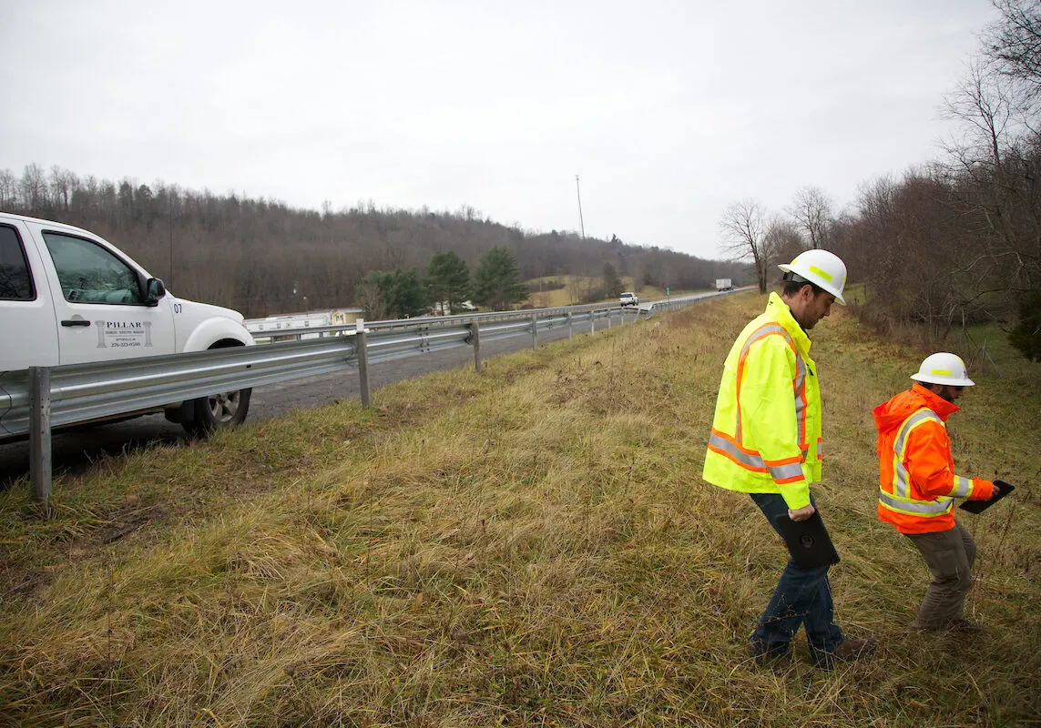
The client also required drainage pipe assessment so we combined the collected images and point clouds with drainage expertise to perform a boots-on-the-ground condition assessment of 1,080 pipes that met or exceeded the VDOT MRP rating requirements of all drainage structures.
| Route | From | To | Centerline Miles |
|---|---|---|---|
| I-81 | Augusta/Rockingham County Line M.P. 237.51 | West Virginia State Line M.P. 324 | 173 |
| I-66 | Interchange of I-81 M.P. 300 | Exit 13 M.P. 13 | 26 |
| I-66 | Exit 13 M.P. 13 | M.P. 36.5 | 47 |
Let's Talk
Complete the form below to start a conversation with PILLAR.