Assessment
KNOW THE CONDITION OF YOUR ASSETS
Proactively manage risk in your aging infrastructure by understanding the long-term needs of your asset base. PILLAR uses a combination of field experience and the latest imagery technology to accurately assess the condition of your assets.

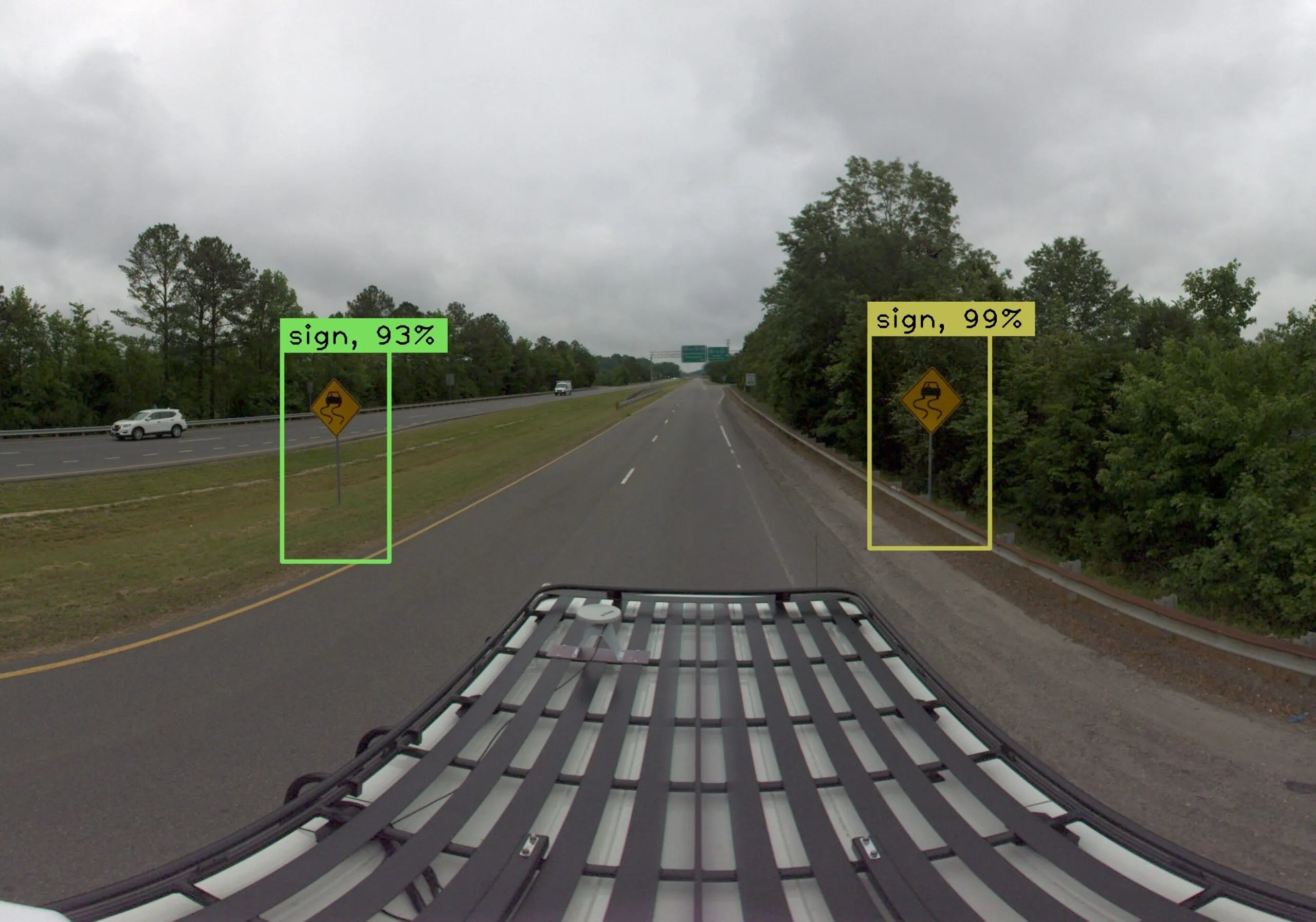
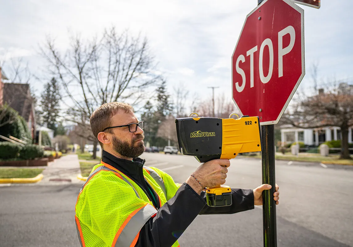
Imagery Analysis
Imagery Analysis is a powerful technique for assessing and understanding roads, spaces, and infrastructure. It uses machine learning technology and software to precisely pinpoint the location and condition of structures through photographic analysis. Now you can leverage machine learning to capture asset conditions.
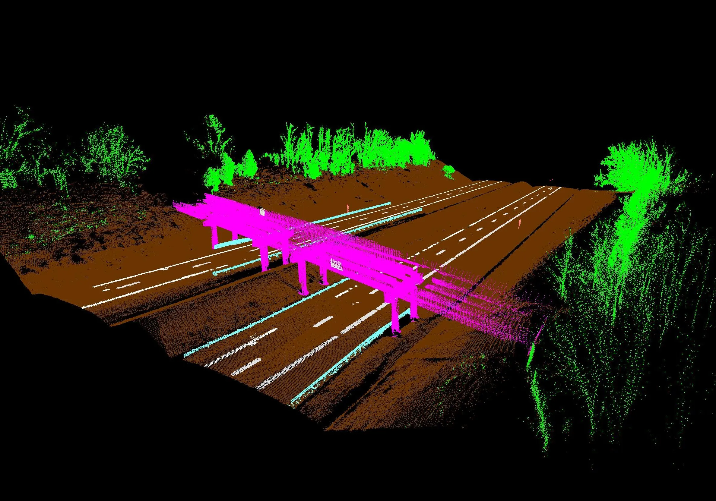
Point Cloud Analysis
Point clouds provide insight into conditions, measurements, and spaces, representing objects in 3D through our scanners and systems. We can covert these representations to suit multiple models. These give unparalleled accuracy in establishing relationships between your data points, revealing their true position.
- Spatial Analysis
- Measurements
- Condition Assessments
- Relative and Absolute Accuracy
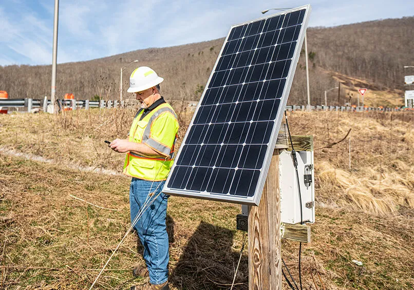
Connected Infrastructure
You can gain a high-level picture and understanding of assets during your assessment through the implementation of Connected Infrastructure sensors. In doing so, you can identify deficiencies directly when they happen. Through this up-to-the-minute technology, you can identify and process solutions quickly.
- Sensors
- IoT (Internet of Things)
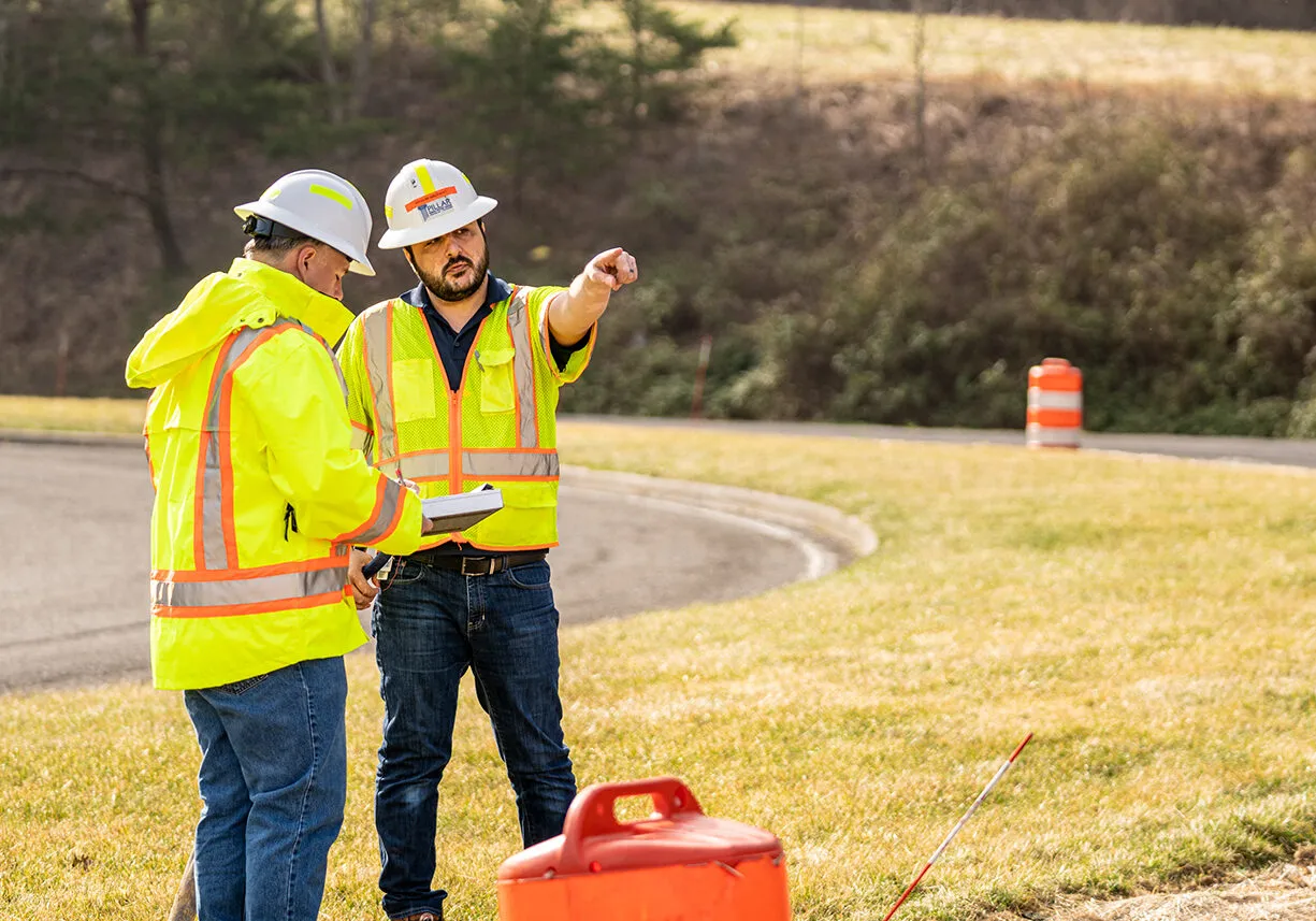
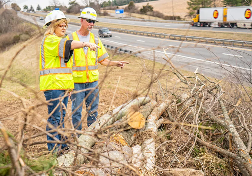
Field Assessments
Not everything can be assessed using technology. For certain assets, you still need to physically see and touch the asset. PILLAR uses specialized condition assessors to review your assets instead of having crews spending time searching for them.
- Experienced maintenance professionals
- Field-level detail
- Consistent rating across asset types and teams
- Tablets in connected and disconnected environments
- Visual inspections
Condition Indices
- Condition rating criteria for numerous asset types
- Activity-level detail
Let’s Talk
Complete the form below to start a conversation with PILLAR.